Tech in Environmental Conservation: The Rise of Remote Sensing
In recent years, technology has played a crucial role in advancing environmental conservation efforts around the world. One of the most significant technological innovations in this field is remote sensing. This cutting-edge technology allows scientists and researchers to monitor and analyze the Earth’s natural resources and ecosystems from a distance, providing valuable data that can help inform conservation strategies and policies. In this article, we will explore the rise of remote sensing technology and its impact on environmental conservation efforts.
What is Remote Sensing?
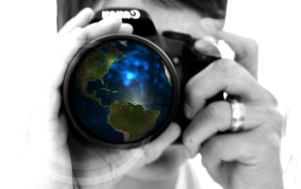
Remote sensing is the process of collecting data about the Earth’s surface using sensors and instruments mounted on satellites, aircraft, drones, or ground-based platforms. These sensors capture images and other information about the Earth’s land, water, and atmosphere, which can be used to monitor changes in the environment over time. Remote sensing technology has revolutionized the way scientists study and understand the Earth’s natural systems, providing valuable insights into the health of ecosystems and the impact of human activities on the environment.
The Benefits of Remote Sensing in Environmental Conservation
Remote sensing technology offers a wide range of benefits for environmental conservation efforts. One of the key advantages of remote sensing is its ability to collect data over large areas in a short amount of time, allowing researchers to monitor environmental changes on a global scale. This data can be used to track deforestation, monitor wildlife populations, and assess the impact of climate change on sensitive ecosystems.
In addition, remote sensing technology can provide valuable information about the health of ecosystems and the effectiveness of conservation efforts. By analyzing satellite images and other remote sensing data, researchers can identify areas of land degradation, assess habitat quality, and track the spread of invasive species. This information can help conservationists develop targeted strategies to protect and restore ecosystems around the world.
Applications of Remote Sensing in Environmental Conservation
Remote sensing technology is being used in a wide range of applications to support environmental conservation efforts. One of the most common applications of remote sensing is monitoring land use and land cover changes. By analyzing satellite images, researchers can track deforestation, urbanization, and agricultural expansion, providing valuable information about the impact of human activities on the environment.
Remote sensing technology is also used to monitor wildlife populations and track the movement of migratory species. By analyzing satellite data and other remote sensing information, researchers can identify critical habitats for endangered species, assess population trends, and track the spread of diseases that can threaten wildlife populations. This information is essential for developing effective conservation strategies and protecting biodiversity.
The Future of Remote Sensing in Environmental Conservation
As technology continues to advance, the future of remote sensing in environmental conservation looks bright. Scientists and researchers are developing new sensors and instruments that can provide even more detailed and accurate information about the Earth’s natural systems. This includes advanced imaging techniques, such as hyperspectral imaging and LiDAR, which can capture high-resolution data about the composition and structure of ecosystems.
In addition, the use of artificial intelligence and machine learning algorithms is helping to automate the analysis of remote sensing data, making it easier for researchers to identify trends and patterns in environmental information. These advancements are allowing scientists to monitor the Earth’s natural systems more efficiently and effectively, leading to better-informed conservation decisions and policies.
FAQs
Q: What are the main advantages of using remote sensing technology in environmental conservation?
A: Remote sensing technology allows researchers to monitor large areas of land in a short amount of time, providing valuable data that can help inform conservation strategies and policies. Additionally, remote sensing technology can provide insights into the health of ecosystems and the impact of human activities on the environment.
Q: How is remote sensing technology being used to monitor wildlife populations?
A: Remote sensing technology is used to track the movement of migratory species, identify critical habitats for endangered species, and assess population trends. By analyzing satellite data and other remote sensing information, researchers can develop effective conservation strategies to protect wildlife populations around the world.
Q: What are some of the future developments in remote sensing technology for environmental conservation?
A: Scientists and researchers are developing new sensors and instruments, such as hyperspectral imaging and LiDAR, to provide even more detailed and accurate information about the Earth’s natural systems. Additionally, the use of artificial intelligence and machine learning algorithms is helping to automate the analysis of remote sensing data, leading to better-informed conservation decisions and policies.